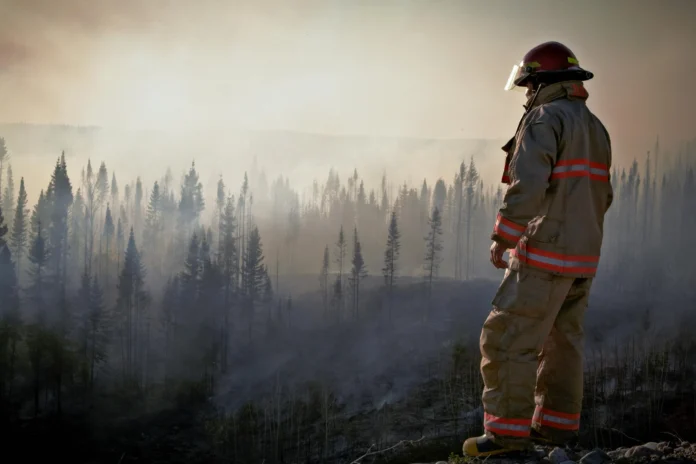
Acknowledging the Scale of the Threat
Wildfires are no longer simply a seasonal threat; they are now a year-round threat due to climate change and uncontrolled urbanization. The Wildfire Mitigation Plans Database, from Pacific Northwest National Laboratory (PNNL), is a new innovative way to get a little closer to developing something built on data-informed certainty for wildfire mitigation. This database doesn’t just hold wildfire mitigation plans; it gives communities, policymakers, and researcher powerful new tools to help make better decisions about wildfire preparedness, response, and resilience.
In this article, we will discuss a) what the Wildfire Mitigation Plans Database is; b) what data it contains; c) how to use it; and d) why it could be a new climate adaptation tool for the United States. If you care about wildfire safety, whether you are a city planner, a local utility, a researcher in the academic or non-profit world, or a concerned resident, this guide is for you.
What Is the Wildfire Mitigation Plans Database?
Developed by PNNL, the Wildfire Mitigation Plans Database is an online, publicly accessible, searchable, and free resource that allows you to access wildfire mitigation strategies from across the U.S. It was developed to address the myriad of disparate state and utility-level wildfire mitigation plans to provide a uniform approach for examining how different areas of the country prepare for and respond to the increasing threat of wildfires.
The Wildfire Mitigation Plans Database helps by:
- Tracking wildfire-related policy and action at the utility and state-level.
- Identifying gaps in mitigation planning.
- Encouraging collaboration and knowledge exchange between agencies.
- Supporting environmental justice and resilience strategies.
PNNL designed this tool as part of their larger mission to bridge the gap between wildfire science and actionable solutions to protect lives, infrastructure, and ecosystems.
What Kind of Data Can You Find in the Wildfire Mitigation Plans Database?
The database currently includes more than 200 wildfire mitigation plans from utilities and government agencies nationwide. For each plan, the database provides detailed metadata, including:
- Issuing agency or utility
- Geographic scope (e.g., state, regional, or service territory)
- Date of issue and update
- Plan status (draft, approved, etc.)
- Coverage of critical themes, such as:
- Vegetation management
- Community outreach
- Grid resilience
- Emergency response
- Risk modeling methods
Each plan is linked to a downloadable document or PDF, enabling in-depth analysis and comparisons across jurisdictions.
Why the Wildfire Mitigation Plans Database Matters as Wildfires Worsen
The U.S. National Interagency Fire Center said more than 7.6 million acres burned in 2023 alone. Utility-caused wildfires, like the 2018 Camp Fire in California, have cost lives and billions in damages. This added urgency for better prevention measures.
So before PNNL created its database, wildfire mitigations plans were often hard to find, varied in format, and often segregated in local jurisdictions found pockets of blindness for regulators, utilities, and even the communities they were intended to protect.
Now, with this centralized tool:
- Researchers can study patterns at the regional level
- Communities can track their local preparedness efforts
Policymakers can identify where support and oversight are most needed
Practical Use Cases for Professionals and the Public
For Local Governments and Utilities
- Benchmark your wildfire mitigation efforts against similar jurisdictions
- Learn from high-performing utility plans
- Support funding applications with data-backed justification
Researchers and Journalists
- Conduct longitudinal studies on wildfire mitigation trends
- Map policy changes over time
- Cross-reference mitigation with fire incident data
Residents and Community Advocates
- Hold your local utility or government accountable
- Understand how your area is preparing for wildfire season
- Advocate for stronger, equity-focused planning
Integration With Other Environmental Health Tools
The Wildfire Mitigation Plans Database is just one resource among many public datasets that can help to understand the wider implications of fire and heat. For instance, the LA Environmental Health Data Dashboard also builds on available datasets that help to better understand the impacts of air quality, heat, effects on health populations, and proximity to fire. These can be leveraged together for a more holistic understanding of environmental risk from the worst of fires, and the exposure using risk assessment approaches, like the Smoke and Steel example, for risk and resilience planning.
A Quick Tour of the Interface
The interface is simple, intuitive, and built for efficiency:
- Search by State or Utility: Narrow your focus geographically.
- Filter by Plan Attributes: Find plans that focus on specific issues like grid hardening or community outreach.
- Downloadable Content: Access the original PDF or webpage for each plan.
- Metadata Overview: Quickly compare plans by theme, length, and release date.
Limitations of the Wildfire Mitigation Plans Database—and What’s Still Missing
While the database is a major step forward, it is not yet comprehensive. Some key limitations include:
- Incomplete coverage in certain states (e.g., Southeast U.S.)
- Lack of standardized metrics for effectiveness
- No rating or scoring system for plan quality
These gaps represent opportunities for researchers, policymakers, and advocacy groups to contribute to a stronger, more dynamic system.
Final Thoughts: Why This Database Deserves Your Attention
With wildfires threatening more and more homes, health, and infrastructure – access to timely, accurate data is no lower a luxury, it’s a necessary resource. The Wildfire Mitigation Plans Database from PNNL is a starting point on a journey towards a more informed, resilient, and equitable response to wildfire risk.
Whether you’re an official in fire prevention, a climate scientist, or just an interested resident trying to understand what’s going in your own community, this is a tool for transparency, accountability, and better planning.


