
Climate data represents more than mere stories about weather; it captures our histories, indicates economic vulnerabilities, and serves as a resource for governments to be accountable for environmental harm. NOAA Climate Data Online (CDO) is one of the largest publicly available climate data archives in the world and, despite its large dataset and open access, countless journalists, researchers, or ESG practitioners are still unaware of what CDO is capable of doing.
This article provides an overview of CDO, including its datasets, and how it has developed to become one of the most relevant resources for data-based perspectives of climate change.
What Is the NOAA Climate Data Online (CDO)?
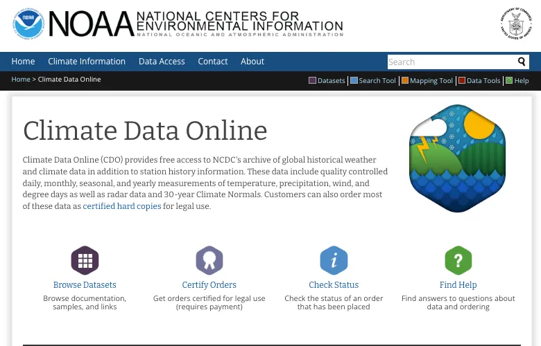
Climate Data Online (CDO) is a portal hosted by the National Centers for Environmental Information (NCEI)/NOAA that provides access to the most thorough publicly available archive of global historical weather and climate data.
From daily temperature records for small towns in the Midwest to global marine winds, CDO delivers open access to millions of standardized quality controlled datasets. The archive contains:
- Temperature, precipitation, wind, and degree-day data
- Radar and satellite imagery
- 30-year Climate Normals for long-term climatological analysis
Users can access these datasets for free online, and for legal use—such as environmental litigation or insurance claims—they can even order certified paper copies directly from NOAA (NOAA Data Certification Services).
The CDO represents more than a database; it is the digital backbone of America’s climate evidence infrastructure, supporting public transparency, policy decisions, and research integrity.
→ Source: NOAA NCEI About Us
Inside the NOAA Climate Data Online Database: Key Datasets and Insights
The CDO portal organizes its massive archive into two main sections: Climate Data Online (active datasets) and Legacy Applications (historical systems preserved for continuity).
Below is an overview of the most significant dataset categories.
1. Core Datasets
- Daily Summaries – Ground-level observations from more than 100,000 weather stations worldwide. These records are essential for local forecasting, academic research, and environmental risk modeling.
- Global Marine Data – Data from ships, buoys, and satellites covering ocean temperatures, wind speeds, and sea surface conditions.
- Global Summary of the Month / Year – Aggregated datasets summarizing long-term climate patterns.
- Local Climatological Data (LCD) – Detailed weather and climate data from specific locations such as airports, used in infrastructure planning and aviation safety.
2. Climate Normals and Precipitation Records
NOAA’s Climate Normals are perhaps its most scientifically valuable datasets. These are 30-year averages—currently based on 1991–2020 data—that help researchers detect deviations and long-term trends.
Subcategories include:
- Normals Annual/Seasonal/Daily/Hourly/Monthly
- Precipitation (15-Minute, Hourly) – Critical for hydrologists, flood-risk analysts, and infrastructure designers studying rainfall variability.
For instance, precipitation data from CDO has been used in FEMA floodplain mapping and in academic research on extreme weather frequency.
3. Weather Radar Data
The CDO also integrates Level II and Level III Radar Data from the NEXRAD network.
- Level II provides raw, high-resolution data streams from radar stations.
- Level III offers processed summaries, making it ideal for visual analysis in GIS applications.
Researchers often combine this with NOAA’s interactive Mapping Tool to visualize regional weather dynamics.
4. Legacy Applications
Even the older datasets remain invaluable. Legacy systems like:
- Climate Indices
- Global Climate Station Summaries
- National Solar Radiation Database
- Regional Snowfall Index
are still available through older servers. These help validate long-term models and ensure continuity in studies spanning multiple decades.
→ Dataset index: https://www.ncei.noaa.gov/cdo-web/datasets
Tools and Access: How to Use the NOAA Climate Data Online Platform
CDO is designed for multiple levels of users—from first-time visitors to advanced data scientists.
1. Search Tool
NOAA CDO Search
Users can query by location, time range, dataset type, and weather station. The interface allows filtering by geographic coordinates and exporting results as CSV files.
2. Data Tools
NOAA Data Tools
Includes “comparative climatic conditions” graphs, trend analysis, and anomaly tracking. A great entry point for non-specialists to explore climate shifts visually.
3. Mapping Tool
Mapping Tool
An interactive map overlaying NOAA datasets for spatial analysis. Useful for journalists and city planners visualizing droughts, floods, or heat waves.
4. Bulk and API Access
For large-scale projects, users can access NOAA’s FTP servers or APIs. Data are updated regularly, though some requests (especially radar data) may be rate-limited.
Example:
A Houston-based journalist analyzing flood risks could combine “Precipitation 15-Minute” and “Weather Radar (Level III)” datasets to reveal how rainfall intensity changed during the 2017–2021 hurricane seasons.
→ Help portal: https://www.ncei.noaa.gov/cdo-web/faq
Why the NOAA Climate Data Online Database Matters Beyond Weather Forecasting
Research and Policy
The CDO provides foundational evidence for climate change models, urban resilience planning, and environmental policy decisions.
It’s also a key resource for ESG and sustainability reporting, especially in quantifying climate exposure or validating environmental claims.
For those tracking the intersection of finance and climate policy, see our related article:
International Climate Finance Database and explore our full ESG Databases section.
Legal and Insurance Uses
NOAA’s certified data often serves as evidence in environmental litigation, zoning disputes, and insurance claims. Because certified CDO datasets are government-authenticated, they hold legal standing in U.S. courts.
Transparency and Accountability
The CDO embodies the principle of open science—making raw data available for independent validation. This transparency is central to maintaining trust in climate research and public decision-making.
Limitations and Responsible Use of the NOAA Climate Data Online Database
While NOAA’s CDO is among the most complete archives available, users should be aware of certain challenges:
- Data completeness varies by station and time period.
- Legacy formats may require preprocessing for use in modern analytics tools.
- Interpretation complexity: Misinterpretation can occur without understanding metadata or climatological baselines.
- Certified paper records come with small administrative costs but are essential for legal authenticity.
Critical users—especially journalists and analysts—should always cross-reference CDO findings with peer-reviewed sources or national climate summaries.
Practical Tips for Using the NOAA Climate Data Online Database Effectively
- Start Small: Use “Daily Summaries” or “Normals Annual” datasets before diving into multi-decade archives.
- Leverage Tools: The “Data Tools” interface is an excellent way to create trend charts without coding.
- Combine Data Sources: Pair CDO data with open ESG or disaster databases for richer context.
- Document Sources: Always cite NOAA and dataset IDs in publications or research papers.
- Validate with Certified Copies: For professional or legal use, request certified NOAA reports.
A Model for Open Environmental Data Infrastructure
NOAA’s Climate Data Online is more than an archive; it is a model for how another government can support transparency, replicability, and access to data for the public.
Its design is similar to the EU’s Copernicus Climate Data Store, because it demonstrates how open environmental data can benefit both scientists and citizens.
In an era of climate misinformation, CDO remains one of the few tools where raw data, not opinions, shape the story.
Sources and References
- NOAA National Centers for Environmental Information – About Us: https://www.ncei.noaa.gov/about-us
- NOAA Climate Data Online Portal: https://www.ncei.noaa.gov/cdo-web/
- NOAA Dataset Index: https://www.ncei.noaa.gov/cdo-web/datasets
- NOAA Data Tools: https://www.ncei.noaa.gov/cdo-web/datatools
- NOAA Certified Data Services: https://www.ncei.noaa.gov/services/certification
This article was created with AI assistance and reviewed by a human editor.