


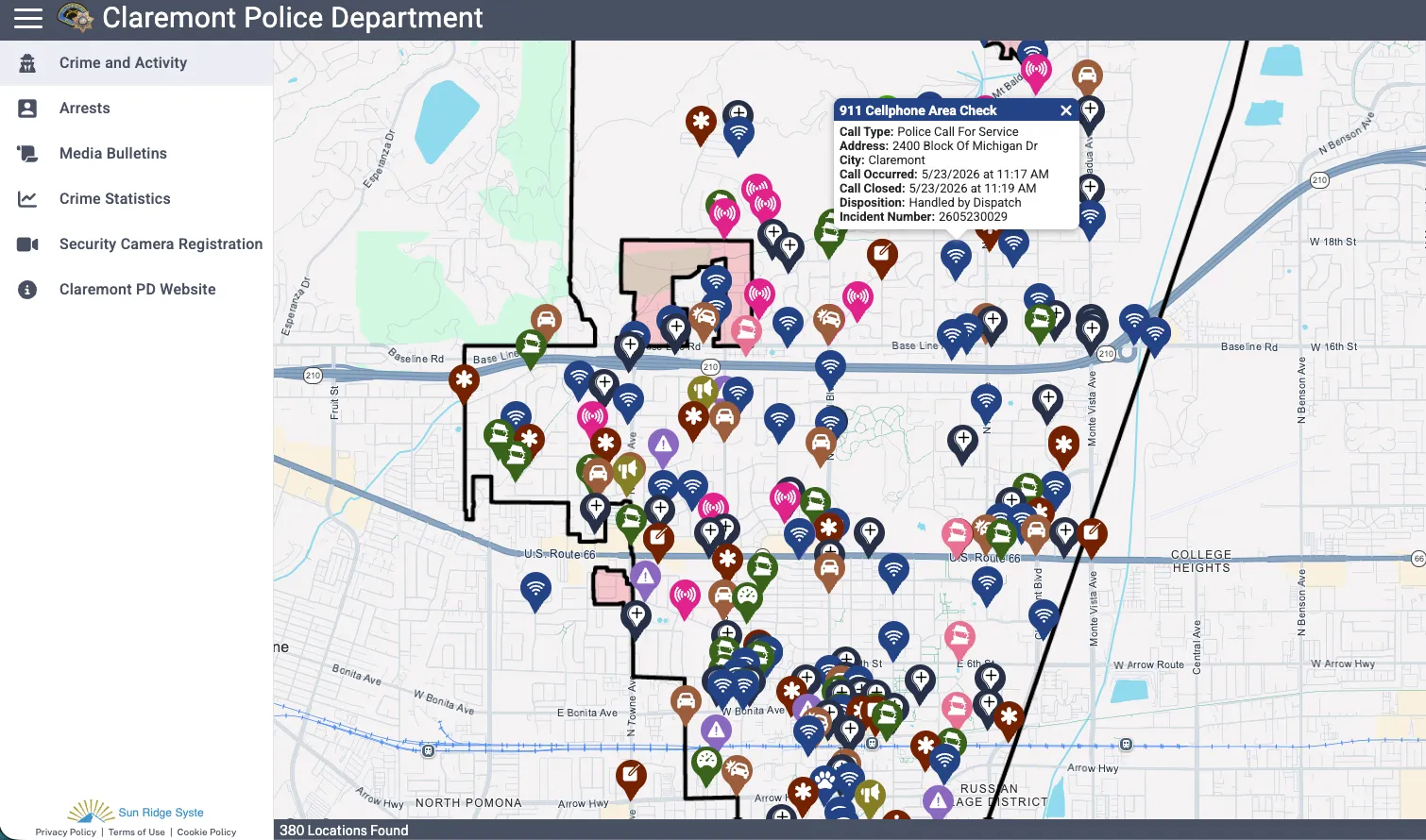
One of the more practical aspects of the Claremont Crime Database is that it is not limited to a simple incident map. According to the Claremont Courier report about the Citizen RIMS launch, the platform includes multiple public-facing sections designed to help residents navigate different types of police-related information from a single interface.
At the time of writing, the following main menu sections are publicly accessible through the official Claremont Citizen RIMS platform:
- Crime and Activity
- Arrests
- Media Bulletins
- Security Camera Registration
- Claremont PD Website
This structure makes the system more comprehensive than many smaller municipal crime mapping tools, which often provide only a static incident feed.
The “Crime and Activity” section functions as the core public database interface, allowing users to explore reported incidents and police activity across Claremont.
The “Arrests” section adds another layer of transparency by providing publicly accessible arrest-related information where available under department policy and legal limitations.
Meanwhile, the “Media Bulletins” area appears designed to distribute official police communications and public information notices directly through the platform.
The Security Camera Registration section reflects a growing trend in community-assisted policing. Residents and businesses can voluntarily register the location of their private cameras with the department — not granting access to footage, but flagging its existence. If an incident occurs nearby, investigators can identify potential evidence sources without conducting a blanket canvass of the area. This approach balances investigative efficiency with privacy, since registration is opt-in and does not give police standing access to any camera feed.
The platform also includes a direct connection to the Claremont Police Department website, creating a centralized ecosystem for public safety communication.
What Information Is Available for Individual Crime Reports?
When users click on a specific incident within the Claremont Crime Database, the platform provides several core data fields that help contextualize the reported event.
Depending on the incident and public availability rules, users may see:
- Call Type
- Address
- City
- Call Occurred
- Call Closed
- Disposition
- Incident Number
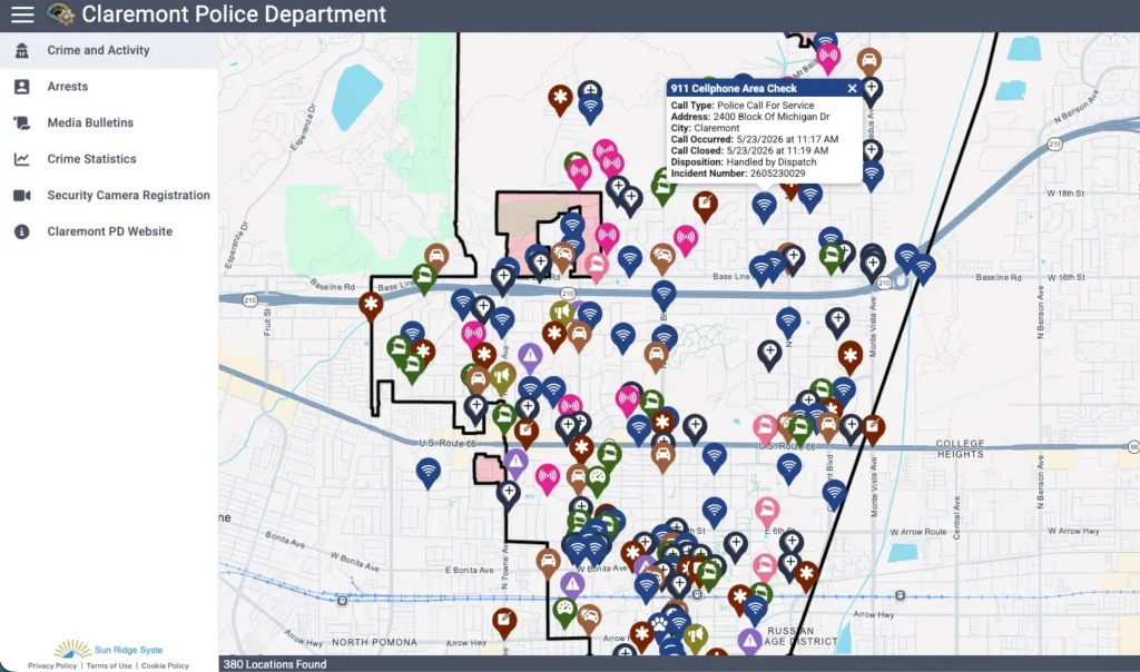
These fields provide significantly more context than the simplified crime pins commonly seen on generic third-party crime maps.
For example:
- “Call Occurred” and “Call Closed” can help users understand the timeline of a police response.
- “Disposition” may indicate how the incident was resolved or categorized operationally.
- “Incident Number” creates a traceable reference point that may later connect to additional public records requests or official reporting.
However, it is important to recognize that these entries typically represent initial police activity records rather than finalized investigative conclusions.
The Citizen RIMS platform is not unique to Claremont. Other municipalities across the United States have adopted similar public-facing crime mapping tools — including the Allentown crime database — as part of a broader shift toward accessible criminal database searches in the USA. The specific data fields, filtering options, and transparency policies, however, vary significantly between departments.
Search and Filtering Capabilities
The Citizen RIMS public crime mapping system also includes several filtering and search tools that improve usability for residents and researchers.
Users can perform location-based searches and refine results using multiple criteria, including:
- distance
- crime types
- activity types
- date ranges
This functionality allows users to move beyond passive browsing and conduct more targeted analysis.
For instance:
- a resident could search for incidents within a specific radius of their neighborhood
- a journalist could examine activity within a defined time period
- a business owner could monitor recurring incident categories near a commercial district
The location search functionality is particularly useful because raw citywide crime data often lacks meaningful geographic context without distance filtering.
Instead of scanning hundreds of unrelated incidents, users can narrow the database to the areas most relevant to them.

